3D Point Cloud
A collection of millions of spatial points that precisely represent the shape and structure of an object or space.
What is a 3D point cloud?
A 3D point cloud is a collection of millions of spatial points that precisely represent the shape and structure of an object or space. Each point has exact coordinates in three dimensions, enabling a faithful representation of the scanned element in a digital environment.
Our services include
- Scanning objects and spaces — from mechanical elements to architectural structures
- Processing and refining data to obtain a precise point cloud
- Integration with CAD/BIM systems in compatible formats
- Detailed analyses: measurements, clash detection, quality control

3D point cloud applications
Architecture and construction
Creating accurate models of existing buildings and infrastructure.
Industry
Inventory and quality control of machines, equipment, and production lines.
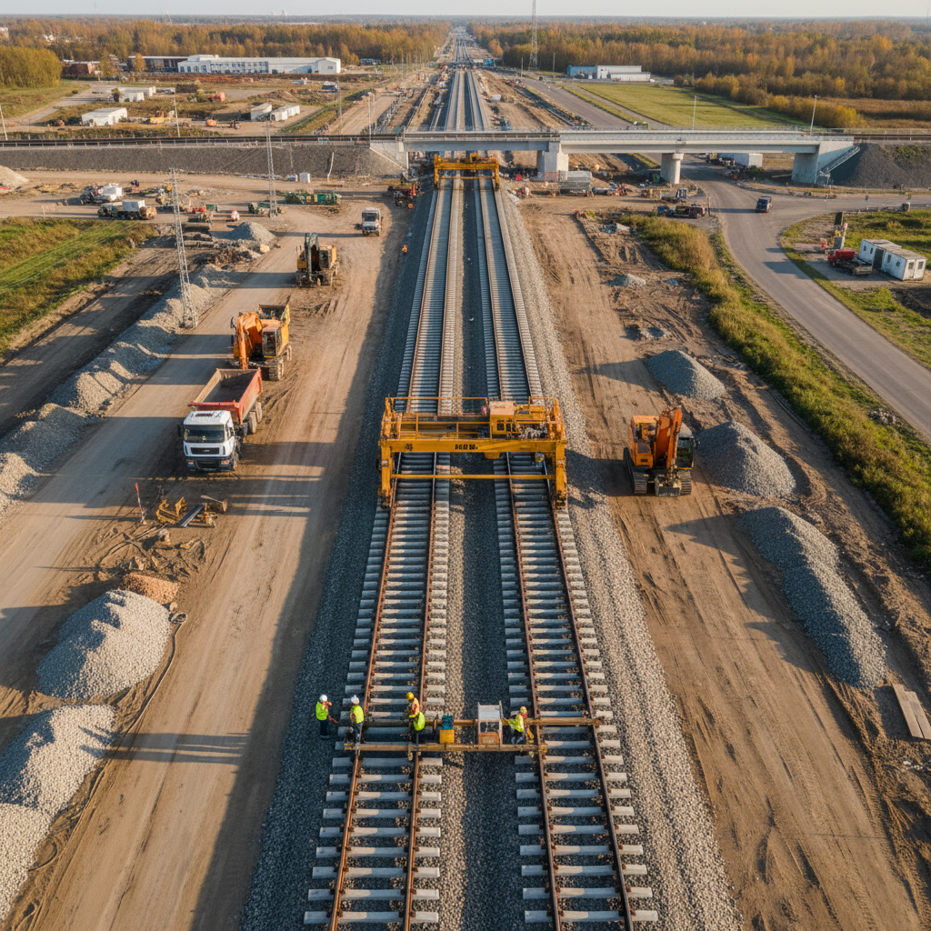
Energy and infrastructure
Mapping of transmission networks, power plants, and industrial facilities.
Geodesy and cartography
Creating detailed digital terrain models (DTM) and digital surface models (DSM).
Culture and heritage
Digitization of monuments, works of art, and historical objects.
Let's talk about your project
Contact us — we will recommend the best geodetic solution for your investment.