Modern Surveying Solutions
Comprehensive 3D scanning and 3D modeling services that replicate real objects and spaces into accurate, highly detailed digital models.
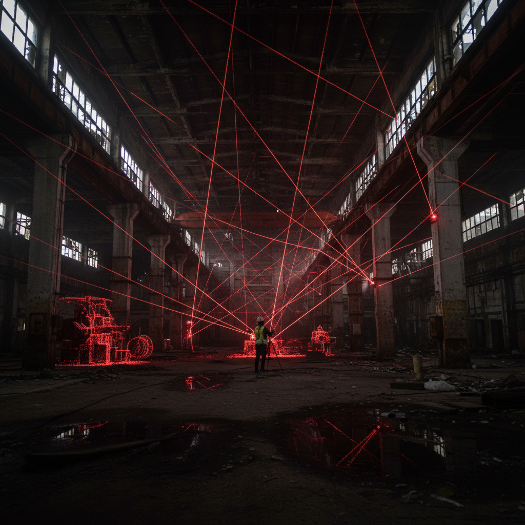
What is 3D laser scanning?
3D laser scanning is a modern, non-contact spatial measurement technology that enables fast and precise data collection about objects. It creates point clouds, 3D BIM models, 2D documentation, and visualizations.
By leveraging the latest laser scanning and spatial modeling technologies, we are able to deliver precise data that is invaluable in construction, architecture, engineering, industry, and real estate.
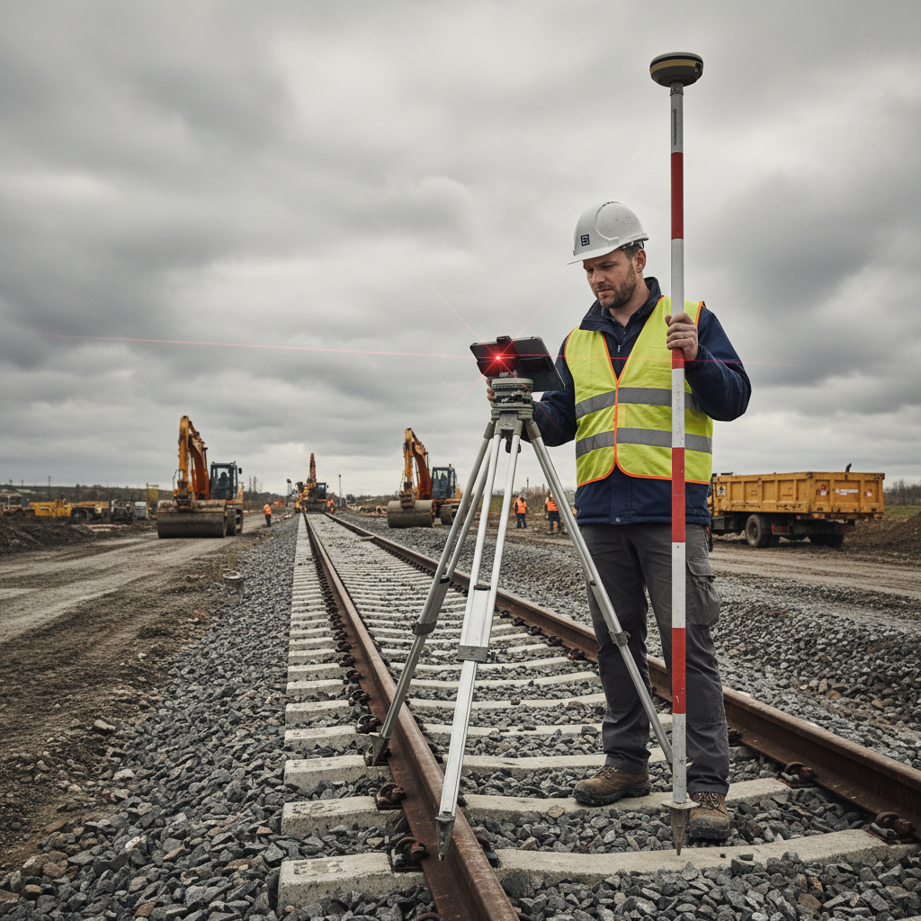
Spatial Data Acquisition
We use state-of-the-art measurement technologies, ensuring the highest quality and accuracy of acquired data.
Processing and Final Products
Specialized software processes measurement data, generating comprehensive products ready for further use.
Benefits of 3D scanning
Precision and accuracy
Unparalleled measurement precision eliminating errors associated with traditional surveys. Accuracy down to millimeters.
Time and cost savings
A fast scanning process that shortens inventory time. Precise data minimizes the risk of design errors.
Comprehensive documentation
3D models can be reused multiple times, facilitating project management at every stage of the investment.
Project visualization
3D models ensure better communication between project participants. Virtual tours of buildings and spaces.
Increased safety
Detailed analysis of the technical condition of structures. Scanning hard-to-reach or hazardous locations without risk.
Modernization and renovation
Faithful representation of monuments and buildings. Ideal support for planning modernization and renovation work.
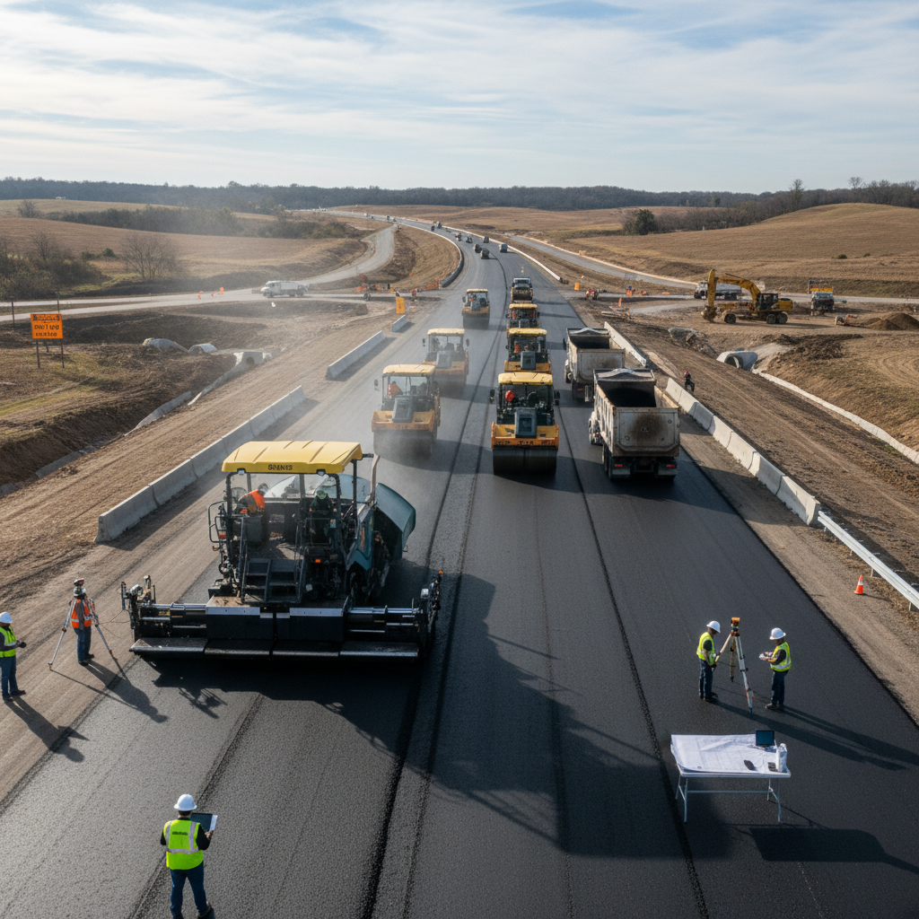
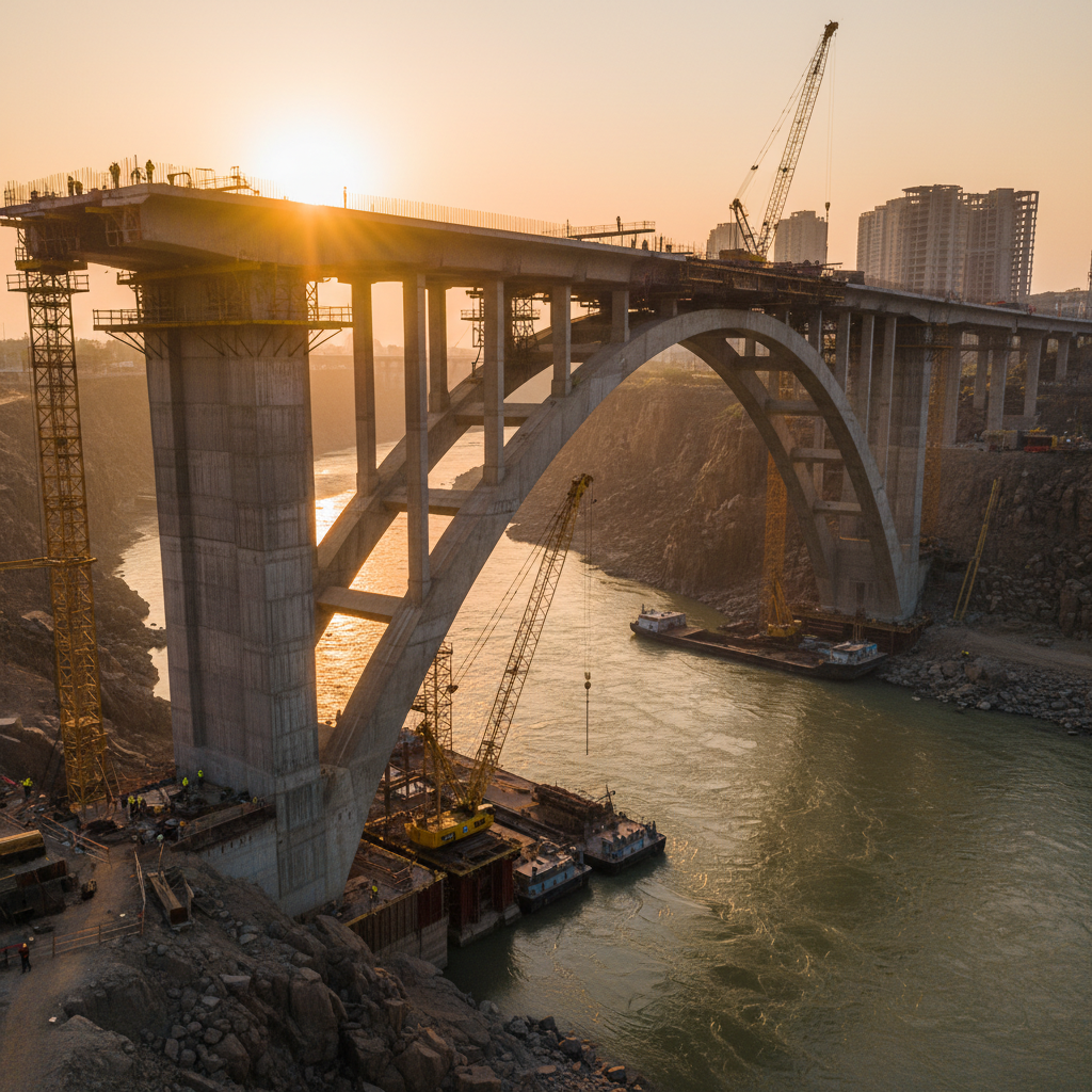
3D technology across industries
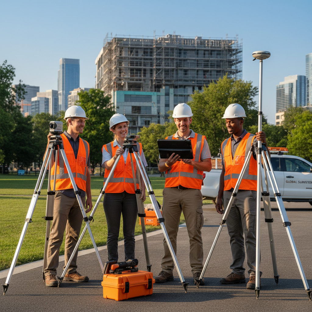
Why Geoprzem?
Geoprzem ensures high-quality 3D scanning services, adapting technologies to the individual needs of each client and project. Our team offers comprehensive support — from consultation to full implementation of scanning results.
As part of our service, we perform scanning of objects and spaces, data processing and refinement, integration with CAD/BIM systems, and detailed analyses and reports.
Let's talk about your project
Contact us — we will recommend the best geodetic solution for your investment.