Architectural Documentation
Precise architectural documentation based on 3D scans — plans, cross-sections, elevations.
3D scan documentation
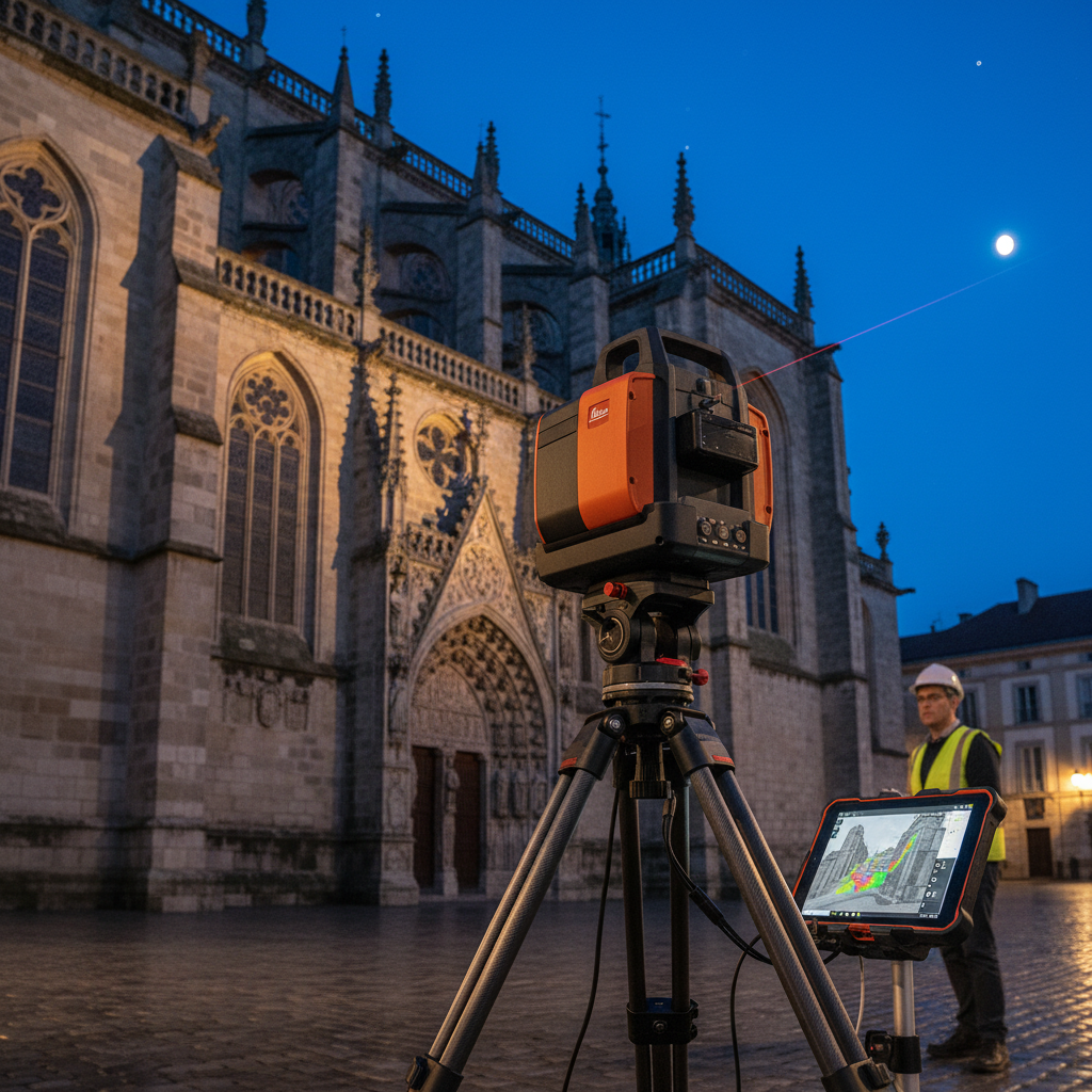
The use of 3D scanning technology in architectural documentation is a precise and modern solution that enables accurate representation of the actual condition of buildings and spaces.
Measurement precision
Millimeter accuracy
Data comprehensiveness
Complete geometry representation
Process speed
Accelerated drawing preparation
Versatility
Modernization, renovation, inventory
Documentation preparation process
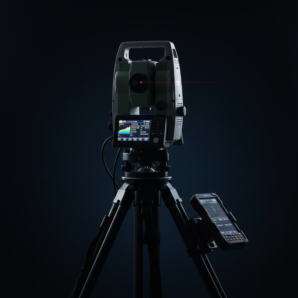
Object scanning
Measurements with millimeter accuracy — fast, non-contact, non-invasive.
Point cloud processing
Three-dimensional image of the object — noise elimination and data optimization.
3D model creation
An accurate model capturing every detail for analysis and planning.
2D and CAD drawings
Detailed plans, cross-sections, and elevations in engineering formats.
Verification and adjustment
Strict quality control at every stage of work.
Let's talk about your project
Contact us — we will recommend the best geodetic solution for your investment.