Photogrammetric Measurements
Precise representation of objects and spaces based on photographs taken from different angles.
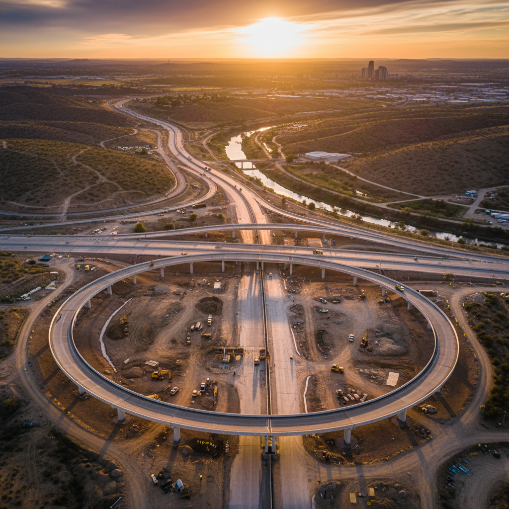
What is photogrammetry?
Photogrammetry is an advanced technology that enables precise representation of objects and spaces based on photographs taken from different angles. The process allows creation of three-dimensional 3D models, point clouds, and orthophotomaps.
Photogrammetry is used in construction, architecture, surveying, industry, and many other fields. It enables fast and detailed measurements of hard-to-reach objects.
How do we work?
We select the best methods and equipment for each project. We photograph the object from different angles, use geodetic reference points, and process data with modern software.
Final products
- Photorealistic high-resolution point clouds
- Detailed 3D models
- Orthophotomaps for documentation and analysis purposes
Let's talk about your project
Contact us — we will recommend the best geodetic solution for your investment.