
3D laser scanning
Modern, non-contact spatial measurement technology enabling fast and precise data collection about objects.
What is 3D laser scanning?
3D laser scanning is a modern, non-contact spatial measurement technology that enables fast and precise data collection about objects. It creates point clouds, 3D BIM models, 2D documentation, and visualizations.
Combined with photogrammetry, it provides detailed representation of objects, including textures and measurements in hard-to-reach locations.
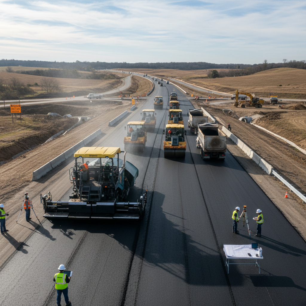
3D scanning applications
3D scanning is used in architecture, construction, automotive, archaeology, and the film industry. It enables the creation of digital twins, virtual tours, quality testing models, and facility inventories.
Particularly useful in the design and modernization of industrial installations — it forms the basis of the Digital Factory concept.
Processing and scanning results
Specialized software processes laser scanning data, generating point clouds in various formats and 2D/3D documentation. Final products include orthophotomaps, virtual tours with measurement capability, and comprehensive 3D models for design, visualization, and engineering analysis.
Let's talk about your project
Contact us — we will recommend the best geodetic solution for your investment.